The Role of GPS in Golf Course Management
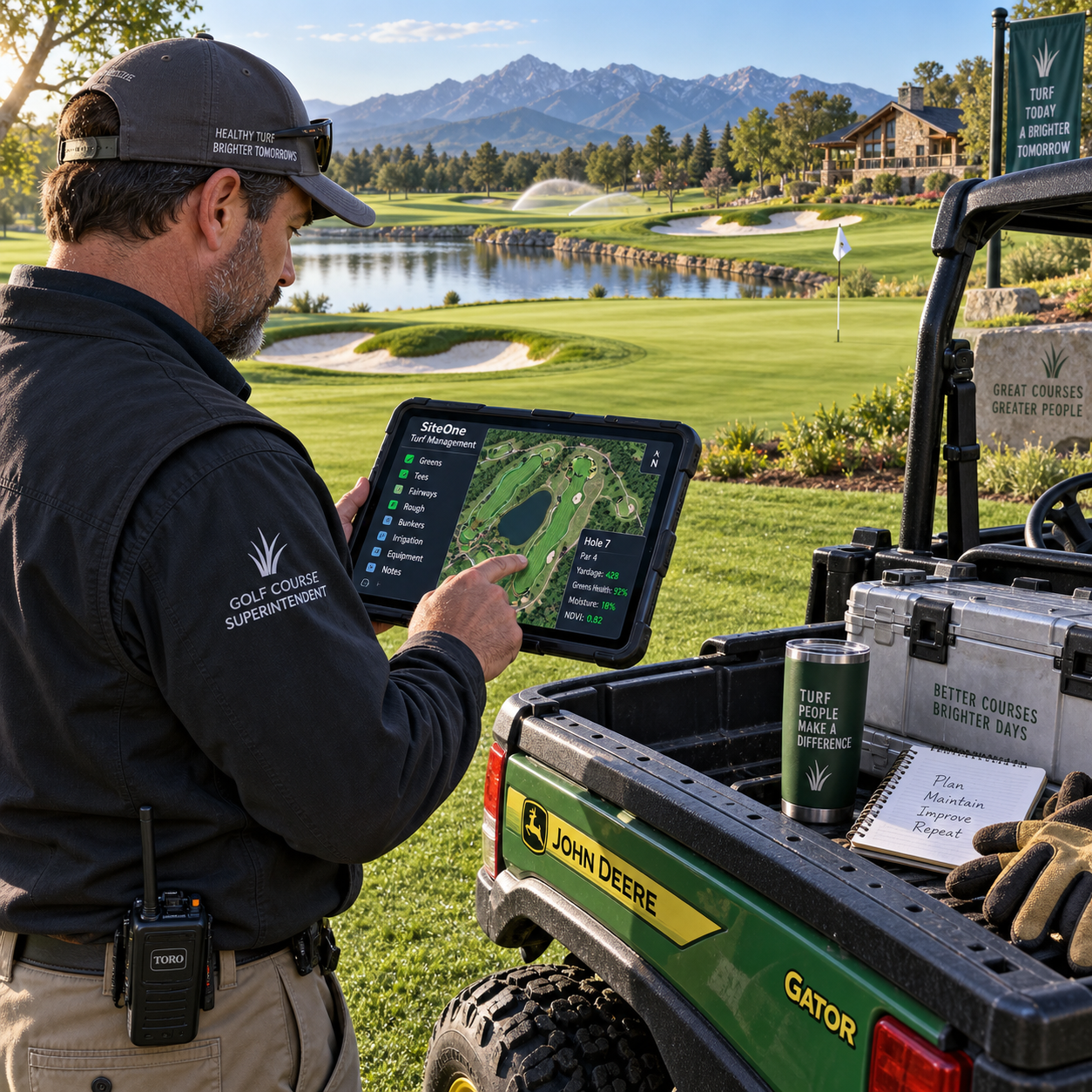
GPS technology has become a practical management tool for golf courses, supporting far more than golfer distance measurements. When accurate location data is connected with course maps, maintenance records, fleet tracking, and operational planning, managers can make better daily decisions about people, equipment, turf, and player flow.
For golfers, a GPS device may show the distance to a green or hazard. For a golf course manager, the same underlying positioning technology can help define work areas, coordinate groundskeeping teams, plan irrigation, monitor vehicles, and improve the consistency of the playing experience. The value comes from turning location data into useful action, with professional judgment still guiding the final decision.
How GPS Technology Is Used on Golf Courses
GPS technology on a golf course supports mapping, navigation, tracking, and operational planning. It gives managers a shared location reference for greens, fairways, bunkers, hazards, paths, maintenance areas, vehicles, and selected work activities.
A course-management GPS system typically combines satellite positioning with digital mapping software. Staff can use a tablet, vehicle display, handheld unit, or web dashboard to view where an asset is located and how that location relates to the course layout. The system may also connect with maintenance logs, irrigation information, tee sheet data, or pace-of-play tools.
Common applications include:
- GPS mapping: creating digital boundaries for fairways, greens, tees, bunkers, water hazards, cart paths, native areas, and out-of-play zones.
- Navigation: helping staff move safely and efficiently between work areas, especially on large or unfamiliar properties.
- Tracking: showing the location and recent movement of utility vehicles, mowers, sprayers, and other mobile equipment.
- Operational planning: assigning work by area, recording completed tasks, and comparing planned routes with actual activity.
This differs from a consumer golf GPS device. A golfer-facing unit is designed primarily for distance measurement, course layouts, hazard information, and shot decisions. A management platform focuses on assets, workflows, records, permissions, and coordination across the golf course operations team.
GPS Mapping and Course Maintenance
GPS mapping helps golf courses organize maintenance by showing accurate locations and boundaries for playing surfaces, hazards, and service areas. A reliable map gives groundskeepers a common reference for scheduling work and recording what has been completed.
Course maps can divide a property into practical management zones. A superintendent might separate greens by irrigation circuit, fairways by mowing schedule, or bunkers by renovation priority. The map can also identify sensitive areas where heavy equipment should be avoided, such as recently repaired turf, drainage projects, wet ground, or protected environmental zones.
Accurate mapping is particularly useful for:
- Recording the size and location of greens, tees, fairways, rough, bunkers, and penalty areas.
- Planning mowing patterns and assigning work to specific holes or turf types.
- Documenting drainage, cart paths, bridges, wash stations, and access routes.
- Locating irrigation valves, heads, control boxes, water features, and maintenance utilities.
- Comparing current course conditions with previous inspections and maintenance records.
Mapping also improves communication. Instead of telling a colleague to check an area near the left side of a fairway, a manager can mark a precise location and attach a note or photograph. That record can help the next shift understand the issue without repeating the inspection.
However, a GPS map is only as useful as its source data. Course renovations, moved tees, new bunkers, tree removal, and rerouted paths can make an older map misleading. Managers should establish a review routine after construction and at regular operational intervals.
Improving Groundskeeping and Resource Planning
GPS data improves groundskeeping by helping teams plan routes, assign work areas, coordinate equipment, and organize irrigation tasks. The technology supports resource planning, but it does not decide turf priorities without input from experienced course staff.
A groundskeeping team can use mapped work zones to create daily schedules. For example, early-morning work may focus on greens and tees before play reaches those areas, while later crews handle fairway mowing, bunker maintenance, or perimeter work. Location data helps managers estimate travel between tasks and reduce unnecessary crossings of active playing areas.
GPS can also support irrigation planning. A digital map may show irrigation zones, water sources, control points, and areas with recurring moisture problems. Staff can use that information alongside soil conditions, weather forecasts, rainfall records, and turf observations. GPS does not measure every agronomic variable, but it helps connect field observations to precise locations.
Useful planning practices include:
- Assigning each task to a hole, turf area, or mapped maintenance zone.
- Recording the date, staff member, equipment, and location of completed work.
- Marking recurring problems such as dry spots, drainage failures, disease pressure, or compacted traffic areas.
- Planning routes that limit turf wear and avoid conflicts with golfers.
- Reviewing completed work to identify missed areas or repeated travel.
Choosing GPS for better coordination can require accepting setup time. Staff must learn how to use the system, maps must be maintained, and managers need a process for reviewing the information. Without that discipline, a sophisticated platform can become another neglected database.
GPS Devices and the Golfer Experience
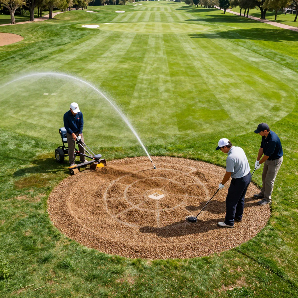
GPS devices improve the golfer experience by providing accurate distances, clear course layouts, hazard information, and useful pace awareness. These golfer-facing features work best when the course map is current and the information is presented without slowing play.
Golfers may use a handheld golf GPS device, GPS golf watch, cart-mounted screen, or mobile application to view distances to the front, center, and back of the green. Many systems also display bunkers, water hazards, layup areas, doglegs, and other course features. Distance measurement can reduce uncertainty and help players choose clubs more confidently.
Course-management data supports these features behind the scenes. If a green is rebuilt, a tee is moved, or a hazard boundary changes, the digital course information may need to be updated. A mismatch between the physical course and the golfer’s device can create confusion, even when the GPS receiver itself is functioning correctly.
GPS can also contribute to pace-of-play management. A course may use cart tracking or location data to identify gaps between groups, unusual delays, or repeated congestion near particular holes. Staff can respond with targeted communication rather than relying only on general reminders. The system should support a welcoming experience, not turn every round into a surveillance exercise.
There is a clear distinction between information designed for golfers and information designed for managers. A golfer usually needs a simple answer in seconds. A superintendent or operations manager may need historical records, asset status, route details, and reports. The best platforms keep these experiences separate while allowing both to use the same accurate course foundation.
Fleet Tracking and Operational Efficiency
Fleet tracking uses GPS to show where course vehicles and mobile equipment are located, helping managers coordinate staff and improve equipment visibility. It can support routing, scheduling, safety, and maintenance records without replacing direct supervision.
Golf courses may track utility vehicles, fairway mowers, bunker rakes, sprayers, carts, and other high-value assets. A live or recent location view can help staff find equipment quickly, determine whether a machine is already in use, and coordinate work across separate areas of the property.
Managers can use fleet data to examine practical questions:
- Which vehicle is closest to a requested maintenance area?
- Are multiple teams traveling unnecessarily to the same part of the course?
- Is equipment spending too much time away from its assigned zone?
- Can a route be changed to reduce disruption during busy tee times?
- Where was a machine operating when a turf issue or safety report was logged?
Fleet tracking may also strengthen preventative maintenance. Operating hours, location history, and task records can help teams schedule servicing before equipment becomes unavailable during critical periods. The financial benefit depends on the quality of implementation, vehicle utilization, and local labor and fuel costs. GPS should be evaluated as a management aid, not sold as an automatic guarantee of savings.
Benefits and Limitations of GPS in Course Management
GPS provides better visibility, more consistent records, and stronger coordination, but its results depend on accuracy, data quality, coverage, and human oversight. A course should assess both the operational gains and the work required to maintain the system.
Potential benefits include:
- Improved accuracy: staff can refer to mapped locations instead of vague verbal descriptions.
- Better coordination: managers can assign people and equipment with greater awareness of current activity.
- Useful records: location-based notes create a history of maintenance issues and completed work.
- Resource visibility: fleet tracking can show equipment availability and movement.
- Better golfer support: current maps improve distance measurement, hazard information, and pace monitoring.
Limitations deserve equal attention. GPS accuracy can vary with receiver quality, satellite conditions, obstructions, terrain, and the quality of the mapped reference points. Tree cover, structures, and poor connectivity may affect performance. A device can also report a precise position on an inaccurate map, which creates a misleading sense of confidence.
Other considerations include subscription costs, installation, device compatibility, battery life, staff training, privacy expectations, and software integration. Human oversight remains essential for agronomic decisions, safety judgments, unusual weather conditions, and changes that have not yet been entered into the system. GPS informs the decision; it does not own the decision.
Choosing GPS Tools for a Golf Course
Choose GPS tools by matching the system to course size, operational priorities, mapping needs, compatibility, and staff capacity. The most advanced platform is not always the most useful if the team cannot maintain the data or use the reports.
A practical selection process starts with the problem to solve. A nine-hole facility may need accurate mapping and basic fleet visibility, while a large resort may require cart tracking, irrigation layers, maintenance workflows, golfer-facing screens, and integration with tee time software.
Questions to ask before buying
- What is the primary use? Define whether the priority is course mapping, maintenance planning, fleet tracking, pace-of-play management, or golfer distance services.
- How accurate is the mapping? Ask how the provider surveys the course, updates changes, and handles renovated holes or relocated features.
- Will it work with existing systems? Check compatibility with tee sheets, cart hardware, irrigation controls, maintenance software, and mobile devices.
- Can staff use it easily? A clear interface and short training period often matter more than an extensive feature list.
- What reporting is available? Look for reports that answer real management questions, such as completed tasks, vehicle use, or recurring problem locations.
- What happens when coverage fails? Confirm offline functionality, data synchronization, technical support, and battery requirements.
A short pilot can reveal more than a sales demonstration. Test the system during normal maintenance, busy tee times, and a course-change scenario. Include groundskeepers, golf operations staff, and management in the evaluation. Their needs may differ, and adoption usually improves when the people using the tools help shape the workflow.
Frequently Asked Questions
How does GPS help golf course maintenance?
GPS helps maintenance teams map turf areas, assign work zones, plan routes, locate irrigation assets, track equipment, and record completed tasks. It provides location context for decisions that still depend on weather, turf conditions, and professional experience.
Can golf GPS devices improve pace of play?
Yes. Golfer-facing GPS can make distance decisions faster, while course-management systems can identify delays, gaps, and congestion. The effect depends on accurate maps, staff response, and how the course communicates with players.
What is the difference between golfer GPS devices and course-management GPS systems?
Golfer GPS devices focus on distance measurement, hole layouts, hazards, and shot planning. Course-management GPS systems focus on mapping, fleet tracking, maintenance workflows, irrigation planning, reporting, and broader golf course operations.
How accurate are GPS distance measurements on a golf course?
Accuracy varies by device, satellite reception, course mapping, terrain, and the reference point being measured. A well-maintained system can provide useful distances, but golfers and managers should allow for normal variation and verify critical information when needed.
What should a golf course consider when choosing GPS technology?
Consider course size, required features, mapping accuracy, device compatibility, coverage, reporting, staff training, integration, support, privacy, and total ownership cost. Select the tool that solves a defined operational problem and can be maintained consistently.
GPS has a meaningful role in modern golf course management because it connects physical places with usable operational information. From groundskeeping and irrigation planning to fleet visibility, tee time coordination, and golfer distance services, the technology can make daily work more organized. Its strongest contribution is clarity: the right people can see the right location, understand its context, and act with better information.