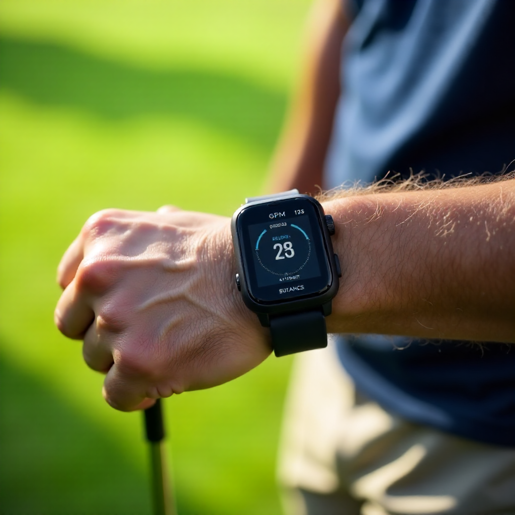
Understanding Slope Measurement in Golf GPS Devices: How Elevation Impacts Your Game
What Is Slope Measurement in Golf GPS Devices?
Slope measurement in golf GPS devices is the technology that detects elevation changes on a golf course and adjusts shot distances accordingly. It helps players understand how uphill or downhill terrain affects how far the ball will travel.
Golf courses have varied topography with hills, valleys, and uneven ground that changes the effective distance a ball must travel. By incorporating slope measurement, modern golf GPS devices give players crucial data beyond flat distances. This feature enhances strategic shot planning by displaying adjusted distances that reflect how elevation impacts ball flight.
Essentially, slope measurement bridges the gap between raw horizontal distance and real-world course conditions, helping golfers anticipate how elevation changes influence club choice and shot power.
How Do Golf GPS Devices Calculate Slope?
Golf GPS devices calculate slope by using sensors like barometric altimeters, accelerometers, and GPS satellites to measure changes in elevation between the golfer's current position and the target point.
Advanced golf GPS devices combine GPS positional data with accurate elevation readings derived from onboard barometric pressure sensors. These sensors detect altitude shifts by measuring atmospheric pressure variations. The device then calculates the incline or decline angle of the terrain between locations.
Some models rely on digital elevation models (DEMs) embedded in their software, which use mapping databases of golf course topography to estimate slope. Others use real-time measurements gathered during play to improve precision. This seamless integration of GPS technology in sports allows for quick and reliable slope data generation.
Compared to standalone elevation tools, integrated sensors in GPS golf devices deliver a compact, user-friendly way to interpret slope changes throughout the course.
Why Slope Measurement Matters for Your Shot Accuracy
Slope measurement matters because elevation changes directly affect shot distance, making standard flat distances inaccurate on sloped terrain. Adjusting for slope improves shot accuracy by reflecting how uphill or downhill shots travel differently.
For example, an uphill shot requires more club and effort to carry the same horizontal distance because gravity slows the ball's flight. Conversely, downhill shots often travel farther. Without slope adjustments, golfers may under- or overestimate distances, leading to misjudged club selection and missed greens.
Using slope-adjusted distances helps golfers:
- Improve club selection by accounting for elevation-induced distance variation
- Enhance strategic planning to choose safer target areas or layups on hilly terrains
- Reduce errors caused by relying solely on flat yardage
Golf GPS devices that provide slope-adjusted shot distances empower players to make smarter decisions, especially on courses with pronounced hills and valleys.
Slope and Golf Rules: When Is Slope Measurement Allowed?
The use of slope measurement features is regulated under USGA rules on slope and other governing bodies, restricting their usage during official tournaments.
The reason is that slope-adjusted distances give an advantage by improving shot planning beyond the standard yardage considered legal. Therefore, many competitions require golf GPS devices to have slope measurement disabled or use models without this feature to comply with the rules.
Official guidelines typically allow:
- Devices that provide flat distances without slope adjustment
- Using slope-enabled GPS devices only during casual rounds or practice
- Disabling slope features in tournament mode when available
Players should always check specific tournament rules before using slope features. For consistent handicap systems and fair play, compliance with USGA regulations is crucial.
Comparing Slope Measurement in GPS Devices vs. Laser Rangefinders
Both golf GPS devices and laser rangefinders offer slope measurement, but they differ in technology and usage.
- Golf GPS devices use satellite positioning, barometric sensors, and topographic data to automatically calculate slope-adjusted distances over the course. They offer hands-free operation and continuous hole overview.
- Laser rangefinders measure distance by timing laser light reflections and include built-in inclinometers to calculate slope between the user and target. They provide highly precise distances but require manual aiming and line of sight.
In summary, GPS devices excel in course coverage and convenience, while laser rangefinders offer pinpoint accuracy and instant slope readings for specific targets. Choosing between them depends on player preference for automation versus direct measurement.
Tips for Using Golf GPS Devices with Slope Features Effectively
To maximize the benefits of slope measurement, follow these best practices:
- Calibrate sensors regularly: Ensure your GPS device's altimeter and compass are accurate for reliable elevation data.
- Use slope features during practice rounds: Familiarize yourself with how adjusted distances affect club choice without tournament pressure.
- Pair slope data with visual course assessment: Combine device info with your on-course observation for better shot strategy in varied terrain.
- Know when to disable slope adjustment: For official play, switch off slope mode if required to comply with rules.
- Consider environmental factors: Wind, temperature, and altitude also affect ball flight; slope is one of several parameters impacting shot accuracy.
Integrating slope measurement data into your routine thoughtfully can elevate your golf performance substantially.
Choosing the Right Golf GPS Device with Slope Measurement
When selecting a golf GPS device with slope measurement, look for the following features:
- Accurate elevation sensors: Barometric altimeters improve slope reading precision compared to GPS altitude alone.
- Reliable course mapping: Devices with official golf course databases provide trustworthy slope data tailored to that course's topography.
- Clear slope-adjusted distance readouts: Easy-to-understand, immediate interpretation of distance changes for uphill and downhill shots.
- User-friendly interface: Simple toggling of slope mode to comply with tournament rules.
- Battery life and durability: Long play times and rugged build ensure device availability throughout your round.
Balancing technology quality with your budget and needs will help you choose a GPS device that enhances your golf game without overcomplication.
FAQ
How accurate are slope measurements in golf GPS devices?
Slope measurements are generally accurate within a few degrees or meters due to advanced sensors and course mapping, though minor variances can occur based on atmospheric conditions and GPS signal quality.
Can slope measurement be used in official tournaments?
Most official tournament rules, including those from the USGA, prohibit slope-adjusted distances during play; devices with slope features must have this functionality disabled to be legal.
Do all GPS golf devices include slope functionality?
Not all GPS devices include slope measurement; some provide only flat distances to comply with tournament regulations without disabling features.
How does slope adjustment affect handicap scoring?
Slope-adjusted distances do not directly affect handicap calculations, but using slope-enabled devices can indirectly improve scoring consistency by helping with better shot planning.
What are the limitations of slope measurement technology?
Limitations include reliance on accurate sensors, potential errors in elevation data from GPS inconsistencies, and inability to factor in other physical factors like wind or temperature, which also influence shot outcomes.